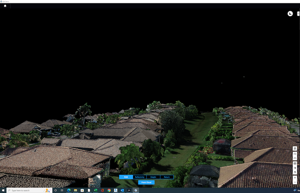
Drone / LiDAR Surveys
LiDAR, which stands for light detection and ranging, is a surveying technology that uses pulsed laser light to measure distances. It can be used to create a three-dimensional map of an object or area. LiDAR surveying is often used for mapping and engineering products. Indian River Survey staff holds a UAV part 107 FA license.
LiDAR has many advantages over traditional surveying methods. For starters, LiDAR is much faster than traditional survey methods. It can also produce more accurate results, especially when it comes to measuring small objects or features. LiDAR is also less effected by weather conditions than traditional survey methods, making it better choice for many projects.
Reasons for wanting the drone surveys:
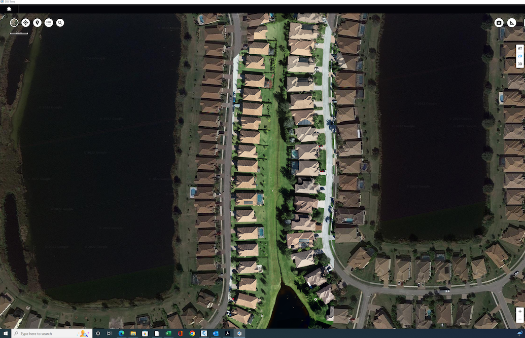
- Ability to map inaccessible areas
- Reduce field time and survey costs
- Meeting accurate and extensive data